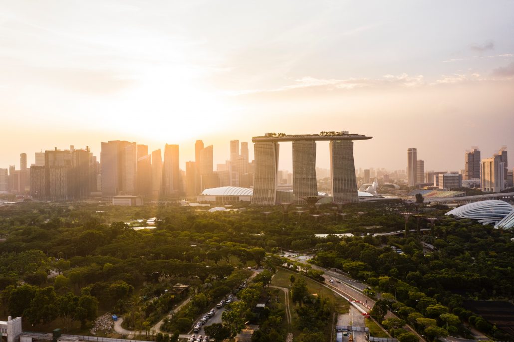
Some interesting facts about our little red dot. Singapore comes in at the world’s 18th smallest country, making up a mere total land area of 724.2 square kilometres. Just next door, Malaysia stands 329,847 square kilometres. To put things into perspective, it takes 456 of Singapore(s) to make up just one Malaysia! Despite our size, Singapore has made her mark in the world, revered as one of the world’s most successful nations in managing its people and transforming its land into a vibrant and efficient one. But how did we get to where we are today?
With a total population of 5.6 million (2019), the need for efficient land planning is key. While the nation is focused on building herself as a business hub at the forefront of globalization, its residents’ needs are not forgotten. Aimed at providing its people with a safe space to live, work and play, the Singapore government prioritizes efficient land use and allocation.
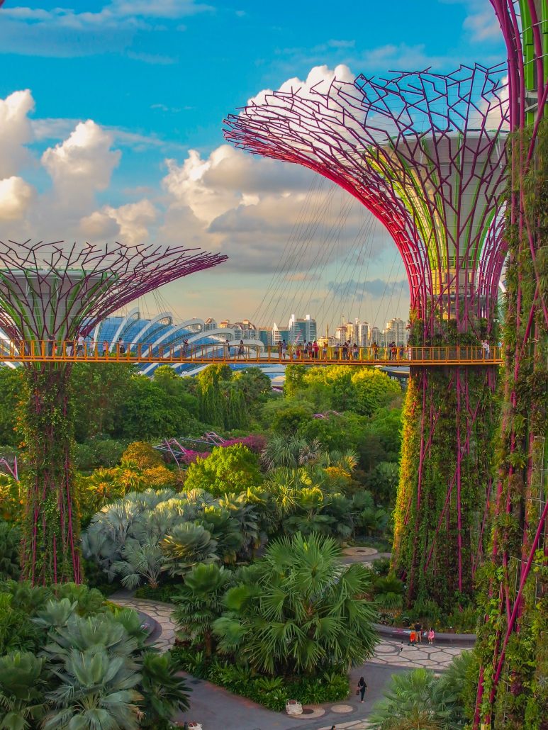
But any good plan must first have a vision. This is where the Concept Plan (CP) comes into play. The CP is a statutory guide plan (reviewed every 10 years) that embodies the vision for Singapore over the next 40-50 years for key areas such as land use and transportation. To supplement this long-term planning, the Master Plan (MP) also plays a vital role. The MP (reviewed every 5 years) translates forward-looking future goals into more detailed and specific plans to guide the development of Singapore’s land and property. Both guide plans are vital as they allow Singapore to remain relevant in a dynamic environment. Seen in recent years, Singapore has shifted its focus from Garden in a City to today’s City in a Garden. As part of her efforts towards combating the imminent effects of climate change, the nation has evolved its urban and land planning approach to be more conscious of the environment.
The success of Singapore’s land management is also accredited to zoning. Zoning is the process in which land is earmarked for different needs, which is in line with the aforementioned guide plans. Zoning is essential as it ensures that the needs of the community are not displaced by the free market. Under free-market forces, only uses with high commercial value would be available. This would mean that amenities such as parks, healthcare facilities and schools would not be readily accessible. As such, zoning corrects this problem by pre-allocating land to these facilities were necessary in each neighbourhood. This enhances the liveability of residential areas and reduces the need for extensive travelling. Beyond this, zoning ensures that land-uses are compatible with each other. For example, heavy industries and factories are not compatible with housing given the presence of noise and air pollution. In Singapore, the possibility of incompatible land use is eliminated given its extensive and well-considered nature. Heavy industries and factory plants are located in the outskirts of Singapore, namely Jurong Island. This ensures that there are minimal interference and risk born by residents.
As Singapore is predicted to reach a population count of 6.58 million by the year 2050, the need for land heightens. To meet this need, land planning authorities in Singapore work on two main fronts: Increasing land-use intensity and increasing land area overall. To build vertically and horizontally. Singapore’s commonly known method of land increase is land reclamation. One such example of successful land reclamation projects includes Sentosa, one of Singapore’s favourite tourist and leisure destination!
In simple terms, land reclamation is the filling of an area (usually done near coastal areas) using soil, clay and rock amongst other materials. Over the past two centuries alone, Singapore has expanded its land area by a whopping 25%. With more land area available, Singapore is able to meet the demands of a growing population and provide greater liveability and comfort.
However, no amount of land reclamation or efficient planning layout would suffice on its own without good connectivity of each area. Good transportation networks form the backbone of a well-planned city. In Singapore, the Mass Rapid Transport (MRT) Rail System and extensive public bus provisions have provided residents with a reliable and affordable mode of transport all around the nation. Did you know, it takes only slightly over an hour to get from one end of the island to the other? By providing an extensive network serving almost every key area in Singapore, the need for private cars is reduced, which translates to reduced congestions and pollution.
Singapore’s achievements in her land developments is remarkable and has even been taken as case studies by countries all over the world. A state that has no natural resources and with only 54 years under its belt as an independent nation, Singapore’s state-of-the-art land planning and development is truly a sight to behold, a reflection of a truly resilient nation.
Want to find the best mortgage rate in town? Check out our free comparison service to learn more!
Read more of our posts below!


